
Related items loading ...
Section 1: Overview
Name of Research Project
|
Related Project
|
Part
|
|
GWF-TSTSW: Transformative Sensor Technologies and Smart Watersheds
|
Work Package 1
|
|
|
|
|
|
|
Program Affiliations
Related Research Project(s)
|
GWF-TSTSW: Transformative Sensor Technologies and Smart Watersheds | |
Dataset Title
Hydrogeology, isotope, and geochemical data from Bogg Creek, Sahtu Settlement Area, Northwest Territories
Additional Information
Creators and Contributors
|
David Rudolph | PI | drudolph@uwaterloo.ca | University of Waterloo |
Andrew Wicke | Originator | awicke@uwaterloo.ca | University of Waterloo |
Aaron Vandenhoff | Point of Contact | aaron.vandenhoff@uwaterloo.ca | University of Waterloo |
Abstract
Digital Elevation Model data and climate data for this project were downloaded from publicly available online sources from Government of Canada Open Data Catalogue GEOGRATIS (
http://geogratis.cgdi.gc.ca/ ) and Environment Canada and Climate Change (
http://climate.weather.gc.ca/ ) websites respectively; data will also be collected during fieldwork. Field techniques included collection of various tracers such as isotopes, geochemistry, and temperature. Data includes surface water and shallow groundwater quality and chemistry, 18O, 2H, 3H, 87Sr, and 13C isotopes, as well as sampling locations, measurements of active layer thickness, hydraulic conductivity and geology. Data is in spreadsheet and shapefiles/geospatial data formats.
Purpose
This project aims to characterize and map groundwater flow within a discontinuous permafrost region at Bogg Creek Watershed, near Norman Wells, Northwest Territories, using indirect techniques, such as tracers. Hydrocarbon extraction and climate change both pose potential threats to groundwater and surface water resources in northern, permafrost regions, prompting the need for baseline monitoring of water resources prior to disturbance. Collecting baseline data can be expensive, difficult and even impractical given the unique environment and extreme climate, and few standard protocols exist. This data forms the basis of an exploration into the viability of using indirect methods of characterizing groundwater flow in this region. This is in order to form a conceptual model that can be used to select further monitoring sites. This is via use of several environmental tracers, including temperature, isotopes, and geochemistry.
This data set is collected for the project titled “Transformative sensor Technologies and Smart Watershed (TTWS): Work Package 1". TTWS a Pillar 3 project under the Global Water Futures Program funded by Canada First Research Excellence Fund.
Plain Language Summary
Keywords
|
Active layer |
Baseline data |
Geology |
Groundwater |
Hydrocarbon |
Isotopes |
Permafrost |
Temperature |
Water chemistry |
Bogg Creek Watershed, Sahtu Settlement Area, Northwest Territories, Canada |
Northwest Territories |
Citations
Rudolph, D., Wicke, A., & Vandenhoff, A. (2019). Hydrogeology, isotope, and geochemical data from Bogg Creek, Sahtu Settlement Area, Northwest Territories. Waterloo, Canada: Canadian Cryospheric Information Network (CCIN). (Unpublished Data).
Section 2: Research Site
Temporal Extent
|
Begin Date
|
End Date
|
|
2018-08-20
|
2019-04-29
|
Geographic Bounding Box
|
West Boundary Longitude
|
-126.71
|
|
East Boundary Longitude
|
-125.13
|
|
North Boundary Latitude
|
65.18
|
|
South Boundary Latitude
|
64.85
|
Is Boundary Rectangular
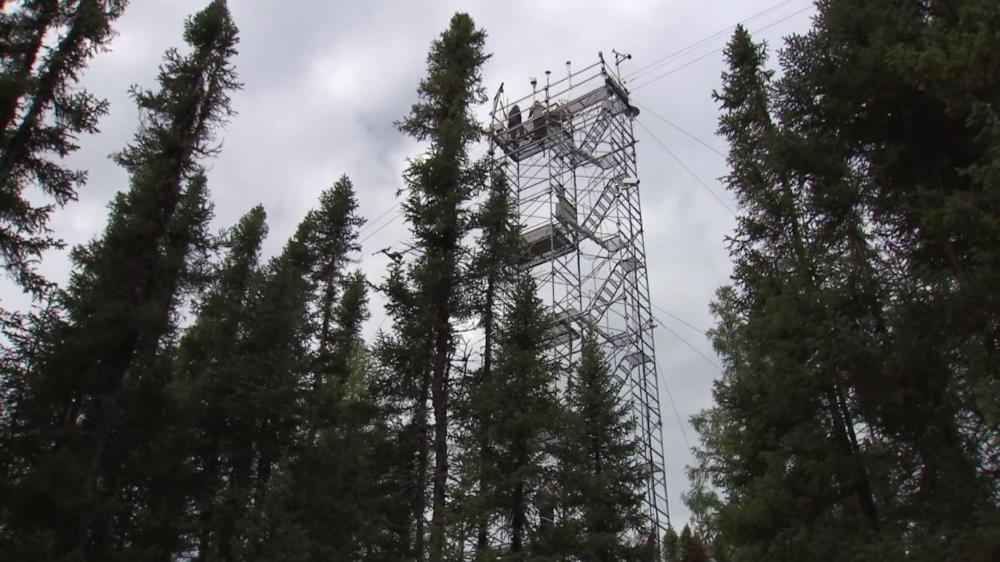
Research Site Images
Research Site Description (if needed)
Bogg Creek Watershed, Sahtu Settlement Area, Northwest Territories, Canada
Basin
Subbasin
Specific Locations (if needed)
Research Site Location
Map Not Available
Display
View on Global Map
Section 3: Status and Provenance
Dataset Version
Dataset Creation Date
Status of data collection/production
Dataset Completion or Abandonment Date
Data Update Frequency
Creation Software
Primary Source of Data
Other Source of Data (if applicable)
Data Lineage (if applicable). Please include versions (e.g., input and forcing data, models, and coupling modules; instrument measurements; surveys; sample collections; etc.)
Section 4: Access and Downloads
Access to the Dataset
Terms of Use
Does the data have access restrictions?
Downloading and Characteristics of the Dataset
Download Links and Instructions
Total Size of all Dataset Files (GB)
File formats and online databases
Other Data Formats (if applicable)
List of Parameters and Variables
 Metadata Editor
 Record List
 Alias List Editor
 Legacy sites

 GWFNet
 Master
 Research
 Map
Map
 Advanced
 Tools
Tools
 . . .
. . .