
Related items loading ...
Section 1: Overview
Name of Research Project
|
Related Project
|
Part
|
|
Core Modelling and Forecasting Team
|
CGHM
|
|
|
|
|
|
|
Program Affiliations
Related Research Project(s)
Dataset Title
Hydrological data (streamflow, evapotranspiration) in Saint John River Basin
Additional Information
Creators and Contributors
|
Sujata Budhathoki | Point of Contact; Originator | sujata.budhathoki@usask.ca | University of Saskatchewan |
Karl-Erich Lindenschmidt | Point of Contact; Principal Investigator | karl-erich.lindenschmidt@usask.ca | University of Saskatchewan |
Elvis Asong | Collaborator | | Climalogik Inc. |
Prabin Rokaya | Collaborator | | University of Saskatchewan |
Daniel Princz | Collaborator | | Environment and Climate Change Canada |
Mohamed Elshamy | Collaborator | | University of Saskatchewan |
Abstract
MESH model is used for calibration/ validation of the streamflow. MESH is a physics-based, land-surface hydro- logical modelling system developed by Environment and Climate Change Canada. MESH performs both water and energy balances and is best suited to cold-region, large-scale catchments due to its ability to simulate snow processes, such as snow accumulation, redistribution, and melt. MESH is used to simulate important hydrological processes (like runoff generation, evapotranspiration, and soil moisture).
The following input data were used for hydrological modelling:
- Meteorological data: For model calibration and validation for historical period, bias corrected WFDEI-GEM-CaPA data is used (
https://doi.org/10.20383/101.0111). The dataset is available from 1979-2016 and has seven forcing (precipitation, longwave radiation, shortwave radiation, wind speed, air temperature, barometric pressure and specific humidity).
- For future meteorological dataset, bias corrected CanRCM4-WFDEI-GEM-CaPA dataset is used (
https://doi.org/10.20383/101.0162). The dataset is available from 1951-2100.
- Drainage basin data: Digital Elevation data (Geobase database as Canadian Digital Elevation Data), Landcover data (
http://cec.org/tools-and-resources/map-files/land-cover-2010-landsat-30m), soil data (Soil Landscapes of Canada (version 2.2), eco-regions shape files for Canada and North America, and other relevant data was obtained from different sources. The drainage basin was created using GreenKenue.
- Hydrological data: The ECCC active hydat stations for Saint John Basin is used for the discharge data. The reservoir inflow/outflow data for GrandFalls, Beechwood, Tobique and Mactaquac is provided from New Brunswick power.
Purpose
For Core Modelling, the data is generated under Current generation hydrological modelling theme which aims to perform hydrological modelling and future climate change scenarios runs in Saint John River Basin.
Plain Language Summary
Keywords
|
floods |
climate change |
hydrological modelling |
MESH |
Saint John River Basin |
Citations
Section 2: Research Site
Temporal Extent
|
Begin Date
|
End Date
|
|
1979-01-01
|
2016-12-31
|
Geographic Bounding Box
|
West Boundary Longitude
|
-70.554
|
|
East Boundary Longitude
|
-66.43
|
|
North Boundary Latitude
|
48.273
|
|
South Boundary Latitude
|
45.648
|
Is Boundary Rectangular
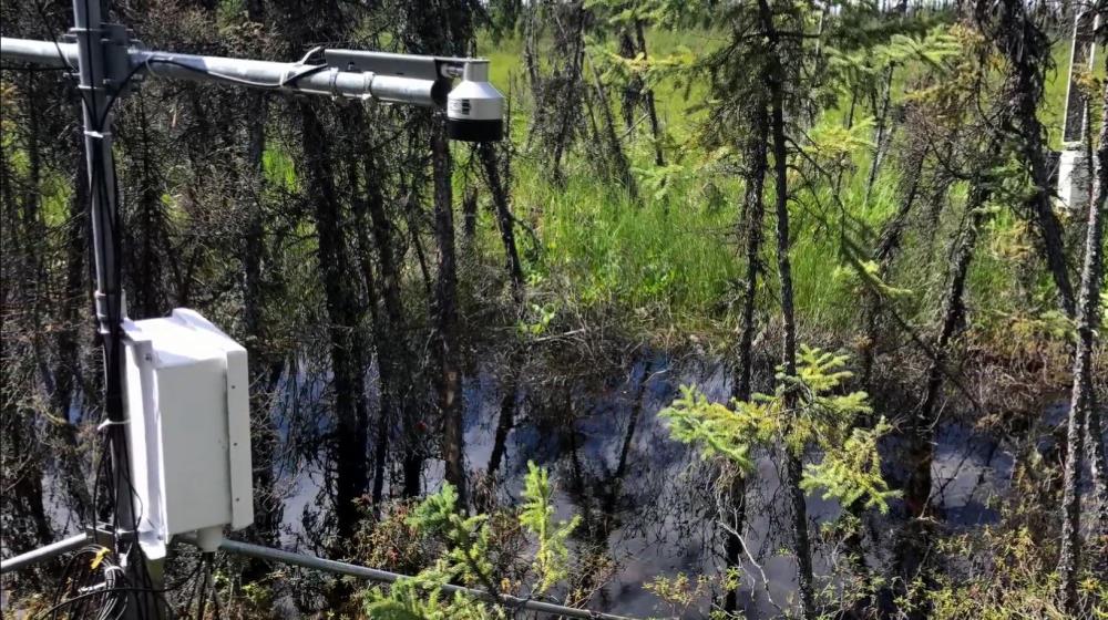
Research Site Images
Research Site Description (if needed)
Saint John River Basin, New Brunswick
Basin
Subbasin
Specific Locations (if needed)
Research Site Location
Map Not Available
Display
View on Global Map
Section 3: Status and Provenance
Dataset Version
Dataset Creation Date
Status of data collection/production
Dataset Completion or Abandonment Date
Data Update Frequency
Creation Software
Primary Source of Data
Other Source of Data (if applicable)
Data Lineage (if applicable). Please include versions (e.g., input and forcing data, models, and coupling modules; instrument measurements; surveys; sample collections; etc.)
Model name: MESH
Model version number: 1.4 Version 1727
Model source/webpage:
https://wiki.usask.ca/display/MESH/About+MESH Model output pre-processing script: CDO, bash, matlab and python command for preprocessing
Model output post-processing script: Python, matlab scripts
Model setup: GRU based in MESH
Time step: 30 mins in MESH
Initial condition: Soil and vegetation state variables, meteorological forcing
Time period for calibration/validation: 1979-01-01 to 2016-12-31
Time period for future climate scenarios: 1951-01-01 to 2100-12-31
Section 4: Access and Downloads
Access to the Dataset
Terms of Use
Does the data have access restrictions?
Downloading and Characteristics of the Dataset
Download Links and Instructions
Data will be available on the MESH github page (
https://github.com/MESH-Model) upon model completion. In the interim, contact Sujata Budhathoki (sujata.budhathoki@usask.ca).
Total Size of all Dataset Files (GB)
700
File formats and online databases
Other Data Formats (if applicable)
List of Parameters and Variables
|
discharge | m3/s | daily | MESH |
evapotranspiration | m3/s | daily | MESH |

 Metadata Editor
 Record List
 Alias List Editor
 Legacy sites

 GWFNet
 Master
 Research
 Map
Map
 Advanced
 . . .
. . .