
Related items loading ...
Section 1: Publication
Publication Type
Journal Article
Authorship
Voordendag, A. B., Goger, B., Klug, C., Prinz, R., Rutzinger, M., & Kaser, G.
Title
Automated and Permanent Long-Range Terrestrial Laser Scanning in a High Mountain Environment: Setup and First Results
Year
2021
Publication Outlet
ISPRS Annals of the Photogrammetry, Remote Sensing and Spatial Information Sciences, 2, 153-160
DOI
ISBN
ISSN
Citation
Voordendag, A. B., Goger, B., Klug, C., Prinz, R., Rutzinger, M., & Kaser, G. (2021). Automated and Permanent Long-Range Terrestrial Laser Scanning in a High Mountain Environment: Setup and First Results. ISPRS Annals of the Photogrammetry, Remote Sensing and Spatial Information Sciences, 2, 153-160.
Abstract
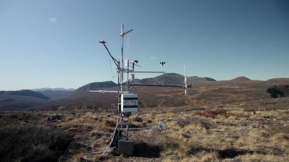
A terrestrial laser scanner (TLS) of the type RIEGL VZ-6000 has been permanently installed and automated at Hintereisferner glacier located in the Ötztal Alps, Austria, to identify snow (re)distribution from surface height changes. A first case study is presented that shows and discusses detected snow distribution at the glacier after a snowfall event, together with concurrent snow erosion and deposition caused by avalanches. The paper shows the potential of a TLS system in a high mountain environment, which is also applicable to other environmental mapping applications. It introduces the setup of the TLS system, its automation procedure, and a first and preliminary uncertainty analysis. TLS data are generally influenced by four uncertainty sources: atmospheric conditions, scanning geometry, mechanical properties, and surface reflectance properties. The first three sources have significant influence on the TLS data at Hintereisferner, whereby the total accuracy of the TLS system is estimated to be in a range of a few decimetres, subject to ongoing more detailed data analysis.
Plain Language Summary
 Metadata Editor
 Record List
 Alias List Editor
 Legacy sites

 GWFNet
 Master
 Research
 Map
Map
 Advanced
 Tools
Tools
 . . .
. . .