
Related items loading ...
Section 1: Overview
Name of Research Project
|
Related Project
|
Part
|
|
GWF-NWF: Northern Water Futures
|
|
|
|
|
|
|
|
Program Affiliations
Related Research Project(s)
|
GWF-NWF: Northern Water Futures | |
Dataset Title
ABoVE: Wildfire Carbon Emissions and Burned Plot Characteristics, NWT, CA, 2014-2016
Additional Information
Creators and Contributors
|
Walker, X.J. | Originator | | |
Rogers, B.M. | Originator | | |
Baltzer, J.L. | PI | jbaltzer@wlu.ca | Wilfrid Laurier University |
Cummings, S.R. | Originator | | |
Day, N.J. | Originator | | |
Goetz, S.J. | Originator | | |
Johnstone, J.F. | Originator | | |
Turetsky, M.R. | Originator | | |
Mack, M.C. | Originator | | |
Abstract
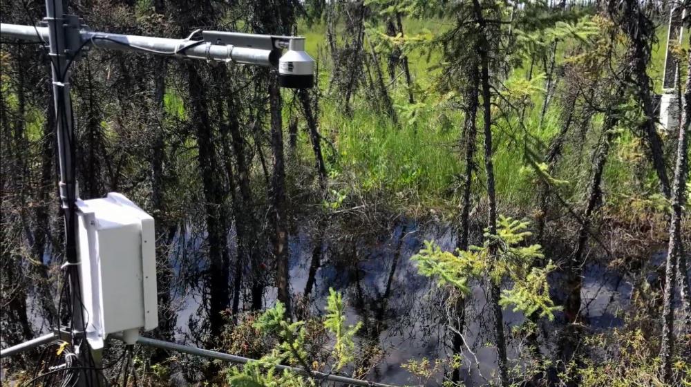
This dataset provides estimates of wildfire carbon emissions and uncertainties at 30-m resolution, and measurements collected at burned and unburned field plots from the 2014 wildfire sites near Yellowknife, Northwest Territories (NWT), Canada. Field data were collected at 211 burned plots in 2015 and include site characteristics, tree cover and species, basal area, delta normalized burn ratio (dNBR), plot characteristics, soil carbon, and carbon combusted. Data were collected at 36 unburned plots with characteristics similar to the burned plots in 2016. The emission estimates were derived from a statistical modeling approach based on measurements of carbon consumption at the 211 burned field plots located in seven independent burn scars. Estimates include uncertainty of field observations of aboveground and belowground combustion, as well as prediction uncertainty from a multiplicative regression model. To apply the model across all 2014 NWT fire perimeters, the final model covariates were re-gridded to a common 30-m grid defined by the Arctic Boreal and Vulnerability Experiment (ABoVE) Project. The regression model was then applied to burned pixels defined by a threshold of Landsat-derived differenced Normalized Burn Ratio (dNBR) within fire perimeters. Derived carbon emissions and uncertainty in g/m2 are provided for each 30-m grid cell. The modeled NWT domain encompasses 29 tiles within the ABoVE 30-m reference grid system.
Purpose
This data was collected to estimate wildfire carbon emissions and assess burned field plot characteristics from the 2014 wildfire sites near Yellowknife, Northwest Territories, Canada.
Plain Language Summary
Keywords
|
Carbon |
Burned plot |
Wildfire |
Yellowknife |
Northwest Territories |
Citations
Walker, X.J., B.M. Rogers, J.L. Baltzer, S.R. Cummings, N.J. Day, S.J. Goetz, J.F. Johnstone, M.R. Turetsky, and M.C. Mack. 2018. ABoVE: Wildfire Carbon Emissions and Burned Plot Characteristics, NWT, CA, 2014-2016. ORNL DAAC, Oak Ridge, Tennessee, USA.
https://doi.org/10.3334/ORNLDAAC/1561
Section 3: Status and Provenance
Dataset Version
1
Dataset Creation Date
2018-07-30
Status of data collection/production
Dataset Completion or Abandonment Date
2018-07-30
Data Update Frequency
Creation Software
Primary Source of Data
Other Source of Data (if applicable)
Data Lineage (if applicable). Please include versions (e.g., input and forcing data, models, and coupling modules; instrument measurements; surveys; sample collections; etc.)
Section 4: Access and Downloads
Access to the Dataset
Terms of Use
Does the data have access restrictions?
Downloading and Characteristics of the Dataset
Download Links and Instructions
Total Size of all Dataset Files (GB)
0.3502
File formats and online databases
Other Data Formats (if applicable)
List of Parameters and Variables
|
Tree density | trees/square m | | Field observation, Field survey |
Soil moisture | % | | Field observation, Field survey |
Carbon | | | Field observation, Field survey, model simulation |
 Metadata Editor
 Record List
 Alias List Editor
 Legacy sites

 GWFNet
 Master
 Research
 Map
Map
 Advanced
 Tools
Tools
 . . .
. . .