
Related items loading ...
Section 1: Publication
Publication Type
Conference Presentation
Authorship
Sabokruhie Pouya, Mohammadiazar Azza, Carriere Gary, McKay Kelvin, Lindenschmidt Karl-Erich, Strickert Graham, Jardine Tim
Title
2D Hydraulic model to examine water and sediment availability in an inland delta
Year
2022
Publication Outlet
AOSM2022
DOI
ISBN
ISSN
Citation
Pouya Sabokruhie, Azza Mohammadiazar, Gary Carriere, Kelvin McKay, Karl-Erich Lindenschmidt, Graham Strickert, Tim Jardine (2022). 2D Hydraulic model to examine water and sediment availability in an inland delta. Proceedings of the GWF Annual Open Science Meeting, May 16-18, 2022.
Abstract
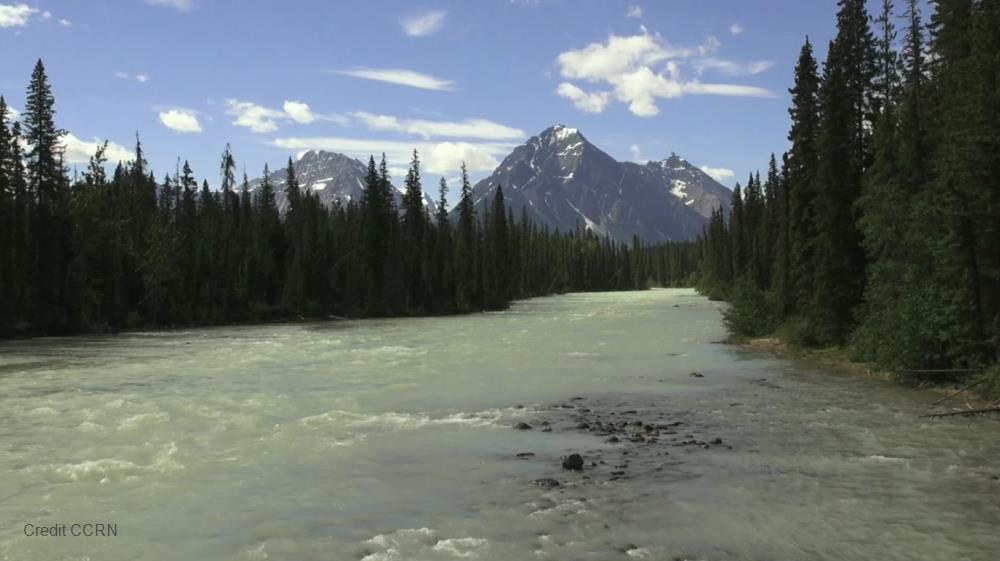
An increase in water demand due to growth in human populations and industry around the globe has led to an increase in riverine flow regulation, impacting the sustainability of downstream ecosystems. The Saskatchewan River Delta (SRD) is the largest inland delta in North America and is located near the Manitoba and Saskatchewan border. Flow regulation infrastructure projects such as the construction of Gardiner, Francois Finley and E.B. Campbell dams along the South Saskatchewan and Saskatchewan rivers have supplied water for irrigation, drinking water, hydroelectricity, flood control, and recreational activities for the province of Saskatchewan. However, this flow regulation has caused negative changes to the flow and sediment regimes for the SRD.
A two-dimensional (2D) hydraulic HEC-RAS model was set up and run to verify some of these observations and to run scenarios on how water and sediment balances can be improved. The model domain contains the main channel, floodplains and hinterland areas. Measured meteorological and hydrological data were available to develop and calibrate the model.
On-land participant observations and semi-structured interviews were used to help determine future scenarios to consider in the 2D modelling. Through these model scenarios, we will assess the effects of different mitigation measures to improve water availability and sediment transport to the delta. Examples of scenarios include simulating flows required to flood an important tributary that feeds wetlands (the Old Channel) and strategic placement of weirs to raise the depth of water in the SRD’s largest lake (Cumberland Lake). The model’s ability to visualize and animate results may serve as a boundary object allowing crucial conversations about water to occur between the Cumberland House community and upstream water decision-makers.
Plain Language Summary
Section 2: Additional Information
Program Affiliations
Project Affiliations
Submitters
|
Pouya Sabokruhie | Submitter/Presenter | p.sabokruhie@usask.ca | GIWS |
Publication Stage
N/A
Theme
Human Dimensions - Impact and Management
Presentation Format
10-minute oral presentation
Additional Information
AOSM2022 First Author: Pouya Sabokruhie, GIWS Additional Authors: Azza Mohammadiazar, Gary Carriere, Kelvin McKay, Karl-Erich Lindenschmidt, Graham Strickert, Tim Jardine, GIWS
 Metadata Editor
 Record List
 Alias List Editor
 Legacy sites

 GWFNet
 Master
 Research
 Map
Map
 Advanced
 Tools
Tools
 . . .
. . .