
Related items loading ...
Section 1: Site Overview
Research Site Name
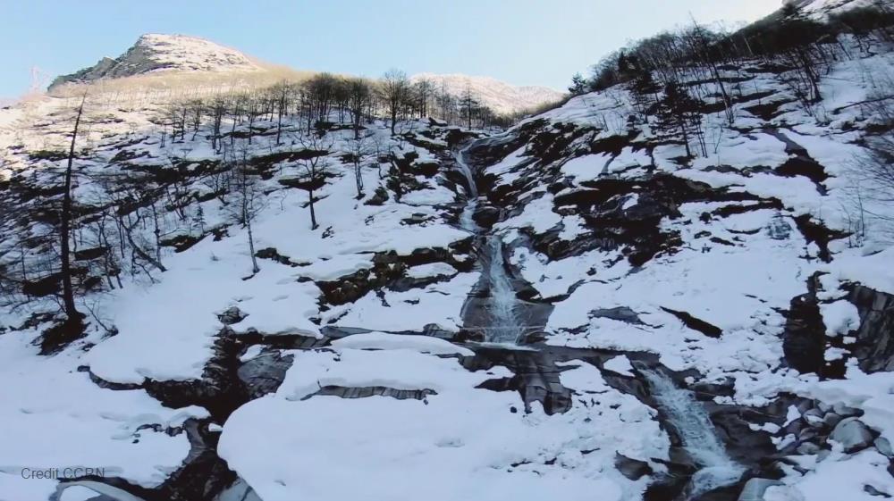
Mt. Everest Research Site #1
Research Site ID #
Catchment Name
Mt. Everest
Primary Contacts
|
Yaoming Ma | Primary Contact | |
Site Location
|
Coordinate Format
|
Latitude
|
Longitude
|
|
Degrees Minutes Seconds
|
See catchment
|
|
|
Decimal Degrees
|
|
|
Elevation
|
Minimum
|
Maximum
|
|
See catchment
|
|
Additional Features of this Site
Additional Information (notes, web addresses, etc.)
Section 3: Forcing Data
Standard Forcing Variables
|
Forcing Variable
|
Instrumentation Description
|
Temporal Resolution
|
|
T
|
Vaisala
|
|
|
RH
|
Vaisala
|
|
|
K in
|
Kipp&Zonnen
|
|
|
K out
|
Kipp&Zonnen
|
|
|
L in
|
Kipp&Zonnen
|
|
|
L out
|
Kipp&Zonnen
|
|
|
Net Radiometer
|
|
|
|
Wind Speed
|
Young alpine
|
|
|
Wind Direction
|
Young alpine
|
|
|
Precipitation
|
Onset HOBO
|
|
|
Pressure
|
Vaisala
|
|
Additional Forcing Variables
Additional Forcing Variable Information
2 more EC stations at different elevations with T, RH, WS, WD, Pressure, radiation
Section 4: Hydrological Instrumentation
Standard Hydrological Instrumentation (including sensor name and model)
|
Hydrological Variable
|
Instrumentation Description
|
Temporal Resolution
|
|
Water Level
|
|
|
|
Discharge Method
|
Yes
|
|
|
Water Temperature
|
|
|
|
Isotope Types (e.g., O18, D, T)
|
|
|
|
Water Conductivity
|
|
|
|
Turbidity
|
|
|
|
Sediment Load (Gravels)
|
|
|
|
Water Sampling Hydrogeochemistry (Elements)
|
|
|
|
Groundwater Level
|
|
|
|
Soil Moisture
|
Yes
|
|
Additional Hydrological Instrumentation
Additional Hydrological Information
Section 5: Hydrometric/Cryospheric Measurements
Standard Hydrometric/Cryospheric Measurements
|
Hydrometric/Cryospheric Variable
|
Measurement Description
|
Temporal Resolution
|
|
Terrestrial Laser Scanner
|
|
N/A
|
|
UAV Sensors
|
|
N/A
|
|
Snow Surveys
|
satellite data
|
N/A
|
|
Time-lapse Photographs
|
Yes for phenology monitoring
|
|
|
SWE Instruments, Pillows
|
blowing snow monitoring sensors
|
|
|
Snow Depth
|
FlowCapt
|
|
|
Soil Temperature
|
Campbell
|
|
|
Surface Temperature
|
Campbell
|
|
|
Eddy Covariance
|
Yes
|
|
|
Ice Elevation
|
|
N/A
|
|
Debris Covered Ice Elevation
|
|
N/A
|
|
GlacierMassBalance
|
|
N/A
|
|
Glacier Ice Thickness
|
|
N/A
|
Additional Hydrometric/Cryospheric Measurements
Additional Hydrometric/Cryospheric Measurement Information
Section 6: Hydrological Modelling Data
Vegetation Map
satellite data
Soil Map
no
Soil Depth Information
yes
Digital Elevation Map (and Spatial Resolution)
Additional Modelling Information
 Metadata Editor
 Record List
 Alias List Editor
 Legacy sites

 GWFNet
 Master
 Research
 Map
Map
 Advanced
 Tools
Tools
 . . .
. . .