
Related items loading ...
Section 1: Site Overview
Research Site Name
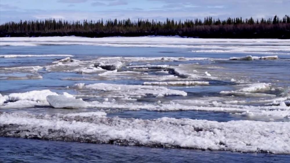
Kyzylsu Catchment Research Site #1
Research Site ID #
Catchment Name
Western Pamir
Primary Contacts
Site Location
|
Coordinate Format
|
Latitude
|
Longitude
|
|
Degrees Minutes Seconds
|
See catchment
|
|
|
Decimal Degrees
|
|
|
Elevation
|
Minimum
|
Maximum
|
|
See catchment
|
|
Additional Features of this Site
Additional Information (notes, web addresses, etc.)
Section 3: Forcing Data
Standard Forcing Variables
|
Forcing Variable
|
Instrumentation Description
|
Temporal Resolution
|
|
T
|
OTT Hydromet/ Lufft TRH / HOBO TidBits at 5 location
|
|
|
RH
|
OTT Hydromet/ Lufft TRH
|
|
|
K in
|
Kipp & Zonen CNR4
|
|
|
K out
|
Kipp & Zonen CNR4
|
|
|
L in
|
Kipp & Zonen CNR4
|
|
|
L out
|
Kipp & Zonen CNR4
|
|
|
Net Radiometer
|
-
|
|
|
Wind Speed
|
2 x Young Wind monitor Alpine 05103-45
|
|
|
Wind Direction
|
2 x Young Wind monitor Alpine 05103-45
|
|
|
Precipitation
|
OTT Hydromet, Pluvio² L 200 rain gauge
|
|
|
Pressure
|
Keller DCX-22
|
|
Additional Forcing Variables
|
| one on-glacier AWS | Select option |
| one off-glacier pluviometer station
| Select option |
Additional Forcing Variable Information
Section 4: Hydrological Instrumentation
Standard Hydrological Instrumentation (including sensor name and model)
|
Hydrological Variable
|
Instrumentation Description
|
Temporal Resolution
|
|
Water Level
|
HOBO level loggers at 4 locations
|
|
|
Discharge Method
|
Salt dilluation gaging + fluorometer with tracer
|
|
|
Water Temperature
|
Yes
|
|
|
Isotope Types (e.g., O18, D, T)
|
-
|
|
|
Water Conductivity
|
Yes
|
hourly
|
|
Turbidity
|
-
|
|
|
Sediment Load (Gravels)
|
-
|
|
|
Water Sampling Hydrogeochemistry (Elements)
|
Likely (no details known yet)
|
|
|
Groundwater Level
|
-
|
|
|
Soil Moisture
|
Yes
|
|
Additional Hydrological Instrumentation
|
| Supraglacial stream dye tracing | Select option |
| Continous EC measurements at stations 1, 3 and 4 | Select option |
Additional Hydrological Information
Section 5: Hydrometric/Cryospheric Measurements
Standard Hydrometric/Cryospheric Measurements
|
Hydrometric/Cryospheric Variable
|
Measurement Description
|
Temporal Resolution
|
|
Terrestrial Laser Scanner
|
No
|
N/A
|
|
UAV Sensors
|
Planned for 2022
|
N/A
|
|
Snow Surveys
|
Repeated Pleaides acquisition and FODAR snow surveys
|
N/A
|
|
Time-lapse Photographs
|
Yes, for snow cover and snow depth stake
|
sub-daily
|
|
SWE Instruments, Pillows
|
Lake pressure transducers (HOBO level logger)
|
hourly
|
|
Snow Depth
|
Campbell SR50A, 15min
|
every 15 minutes
|
|
Soil Temperature
|
Potentially
|
|
|
Surface Temperature
|
-
|
|
|
Eddy Covariance
|
-
|
|
|
Ice Elevation
|
2870 - 5806 m
|
N/A
|
|
Debris Covered Ice Elevation
|
2870 - 4542 m
|
N/A
|
|
GlacierMassBalance
|
ablation stakes in debris-covered area, checked once or twice annually
|
N/A
|
|
Glacier Ice Thickness
|
max ~200m
|
N/A
|
Additional Hydrometric/Cryospheric Measurements
Additional Hydrometric/Cryospheric Measurement Information
Section 6: Hydrological Modelling Data
Vegetation Map
PROBA-V
Soil Map
SOIL-GRIDS
Soil Depth Information
potentially for 2022
Digital Elevation Map (and Spatial Resolution)
AW3D (30m), Pleaides (2, 4, 8, 16m)
Additional Modelling Information
 Metadata Editor
 Record List
 Alias List Editor
 Legacy sites

 GWFNet
 Master
 Research
 Map
Map
 Advanced
 Tools
Tools
 . . .
. . .