
Related items loading ...
Section 1: Site Overview
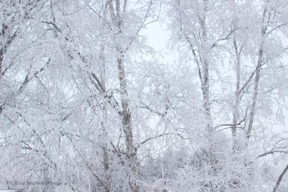
Research Site Name
Bridger Range Research Site #1
Research Site ID #
Catchment Name
Bridger Range
Primary Contacts
Site Location
|
Coordinate Format
|
Latitude
|
Longitude
|
|
Degrees Minutes Seconds
|
See catchment
|
|
|
Decimal Degrees
|
|
|
Elevation
|
Minimum
|
Maximum
|
|
See catchment
|
|
Additional Features of this Site
Additional Information (notes, web addresses, etc.)
Section 3: Forcing Data
Standard Forcing Variables
|
Forcing Variable
|
Instrumentation Description
|
Temporal Resolution
|
|
T
|
Campbell
|
|
|
RH
|
Campbell
|
|
|
K in
|
Kipp&Zonnen
|
|
|
K out
|
Kipp&Zonnen
|
|
|
L in
|
|
|
|
L out
|
|
|
|
Net Radiometer
|
Kipp&Zonnen
|
|
|
Wind Speed
|
Young
|
|
|
Wind Direction
|
Young
|
|
|
Precipitation
|
At nearby SNOTEL
|
|
|
Pressure
|
|
|
Additional Forcing Variables
Additional Forcing Variable Information
The site is near a ski area with an additional weather station (wind T) and close to two SNOTEL sites.
Section 4: Hydrological Instrumentation
Standard Hydrological Instrumentation (including sensor name and model)
|
Hydrological Variable
|
Instrumentation Description
|
Temporal Resolution
|
|
Water Level
|
|
|
|
Discharge Method
|
|
|
|
Water Temperature
|
|
|
|
Isotope Types (e.g., O18, D, T)
|
|
|
|
Water Conductivity
|
|
|
|
Turbidity
|
|
|
|
Sediment Load (Gravels)
|
|
|
|
Water Sampling Hydrogeochemistry (Elements)
|
|
|
|
Groundwater Level
|
|
|
|
Soil Moisture
|
|
|
Additional Hydrological Instrumentation
Additional Hydrological Information
No hydrological instrumentation yet, but looking to install such instruments for COPE.
Section 5: Hydrometric/Cryospheric Measurements
Standard Hydrometric/Cryospheric Measurements
|
Hydrometric/Cryospheric Variable
|
Measurement Description
|
Temporal Resolution
|
|
Terrestrial Laser Scanner
|
No
|
N/A
|
|
UAV Sensors
|
Multiple SfM throughout 3 winters
|
N/A
|
|
Snow Surveys
|
Multiple snow surveys throughout 3 winters
|
N/A
|
|
Time-lapse Photographs
|
No, but possible
|
|
|
SWE Instruments, Pillows
|
At nearby SNOTEL site
|
|
|
Snow Depth
|
Campbell
|
hourly
|
|
Soil Temperature
|
No
|
|
|
Surface Temperature
|
No, but possible
|
|
|
Eddy Covariance
|
No
|
|
|
Ice Elevation
|
No
|
N/A
|
|
Debris Covered Ice Elevation
|
No
|
N/A
|
|
GlacierMassBalance
|
N/A
|
N/A
|
|
Glacier Ice Thickness
|
N/A
|
N/A
|
Additional Hydrometric/Cryospheric Measurements
Additional Hydrometric/Cryospheric Measurement Information
Section 6: Hydrological Modelling Data
Vegetation Map
Yes
Soil Map
Soil Depth Information
Digital Elevation Map (and Spatial Resolution)
Additional Modelling Information
LiDAR

 Metadata Editor
 Record List
 Alias List Editor
 Legacy sites

 GWFNet
 Master
 Research
 Map
Map
 Advanced
 . . .
. . .